Posts

Showing posts from June, 2020

June in Pictures

Image
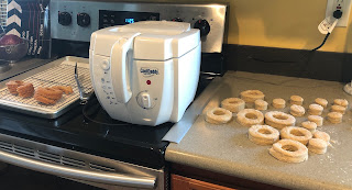
Decided to make donuts,  they were very good.  A new visitor to the suet feeder, a woodpecker.  Alex helped me move the bench to a more useful place. It is a perfect reading spot.  Eagles on the Whale, downtown.  A rainbow at 10pm  Phil caught some mussels. His luck upgraded to a silver fry and a (according to a local) double ugly fish. Nothing we can eat....yet.  The city reversed its decision to start the fountain. I'm happy they did.  Just a bear walking down the sidewalk.

SHC bonus episode

Image
Next up, Mount Roberts . Today was an unexpected sunny day and we knew we had to take advantage of it. We might have gone a little crazy on our choice of hike, but the views were worth it.  The trail guide book says this is the trailhead. Turns out it was the trailhead but has since been unmaintained. It was overgrown and steep, and a relief when we met up with the main trail.  Once we were on the main trail, the steepness did not subside. And the obstacles were diverse.   Fallen trees, streams, root stairways, rock stairways.  The balcony at the tramway. If the tram is operating, you can pay a small fee to ride down instead of hiking. We had to hike down.  A little but further up the mountain is this viewpoint. The railings were taken down (why?) so it was a little precarious. There are a couple of points of interest beyond this, but we weren't feeling that adventurous this time.  View from a resting shelter part way up the...

SHC episode 5

Image
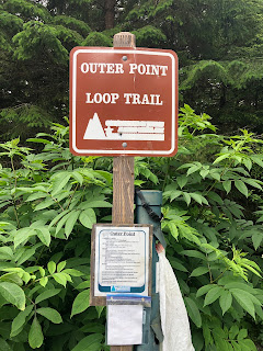
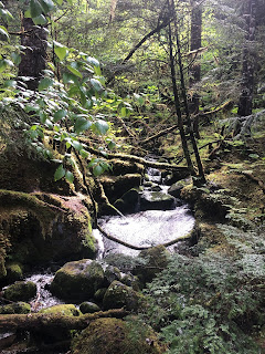
Another iffy day weather wise, another "easier" hike. Everyone loves a loop .  Much of the trail was nicely gravelled or part of a boardwalk. This portion however, was slightly flooded.  Many of the rocks on the beach will break apart when thrown onto other rocks. All of the kids enjoyed competing to see who could get the most fragments.  Rainforest plants

SHC episode 4

Image
Since it was a rainy day, we decided on a flat trail along the airport and wetlands.  This trail has many names, Airport Trail, EVAR, Dike Trail, and Wetlands Trail.  In the wetlands at the turn around point.  The older boys claimed to have made it to the end when they met us on their way back. We moms agreed and sent them to this shelter to wait for us. With the cloudy, rainy weather, there wasn't much to see, but this trail does have some pretty views of the surrounding wetlands and the Channel. If you time it just right, planes taking off or landing fly right over your head.

SHC Episode 3

Image
Kaxdigoowu Heen Dei  also known as the Brotherhood Bridge Trail. There are actually three paths along the way, the paved walking trail, a horse trail, and a hiking trail that winds around through the woods, but never too far from the main trail.  The trail is nicely paved and mostly flat. It starts off through the meadow with a view of Mendenhall Glacier.  Our friends joined us again this week, the 4 older boys are once again forging ahead.  After the meadow the trail winds through the woods and over a river. We found this pretty little robin shell beside the trail.

SHC Episode 2

Image
East Glacier Trail  was a little more challenging than we expected. This was a true hike, with switch backs, staircases carved out of the rocks, and of course, waterfalls. We have expanded out social bubble and have invited our friends the Zigmunds* to join us.  East Glacier Trail winds up the mountain, high above Nugget Falls. In fact, the part of Nugget Falls we saw from the beach was blocked by another layer of boulders. The trail follows along the river that pours into the Falls and was very loud. But, after we reached the back of the loop and were heading back down, it didn't take long for the sound of the river to be completely gone. Not part of the river or eventual Nugget Falls.  All the kids, before the older boys broke off at a faster pace.  Interesting rock formation.  The trees are growing on top of this boulder.  Also just a random waterfall.  A trail for a different day diverges from this point. A lady coming ...